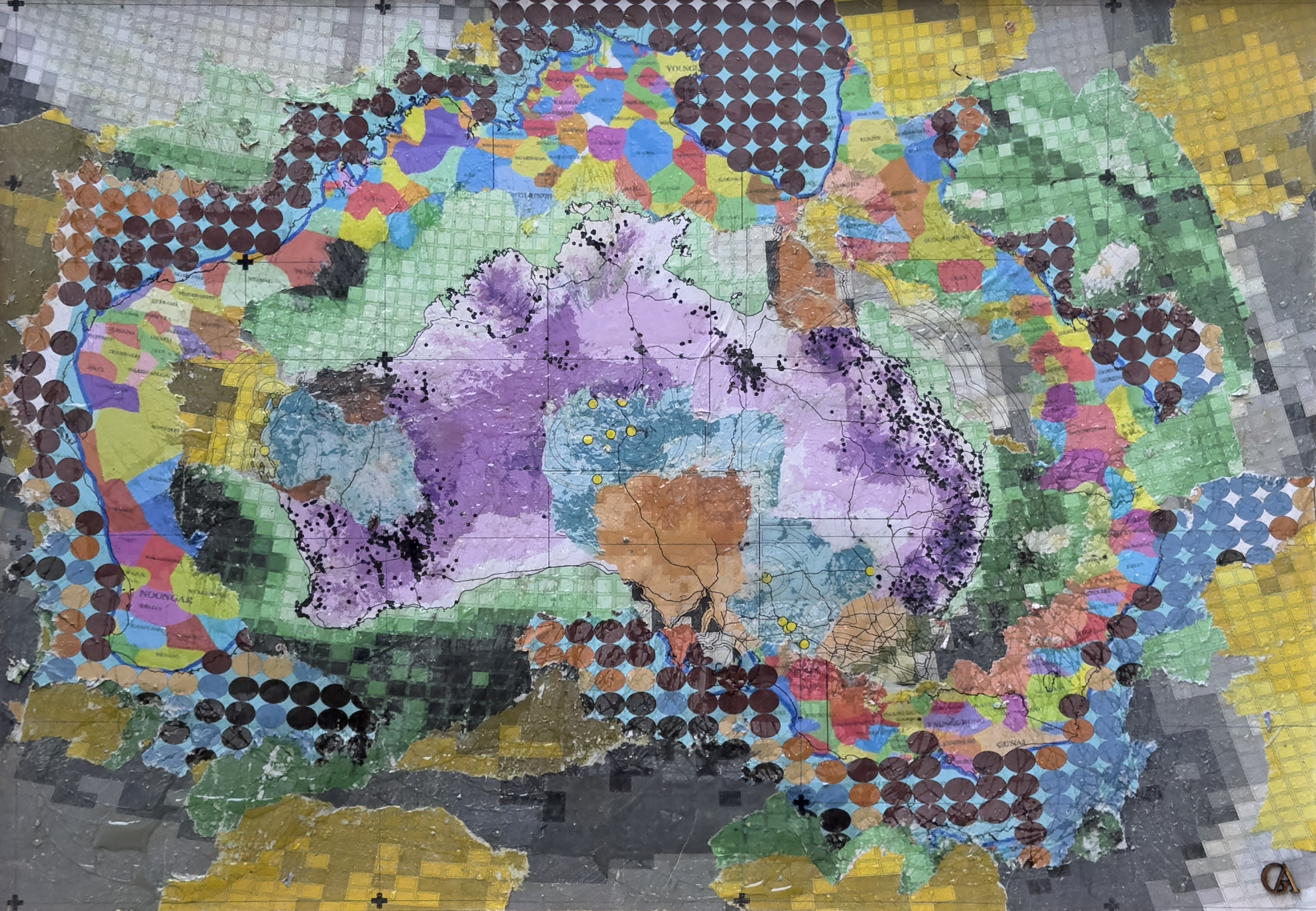
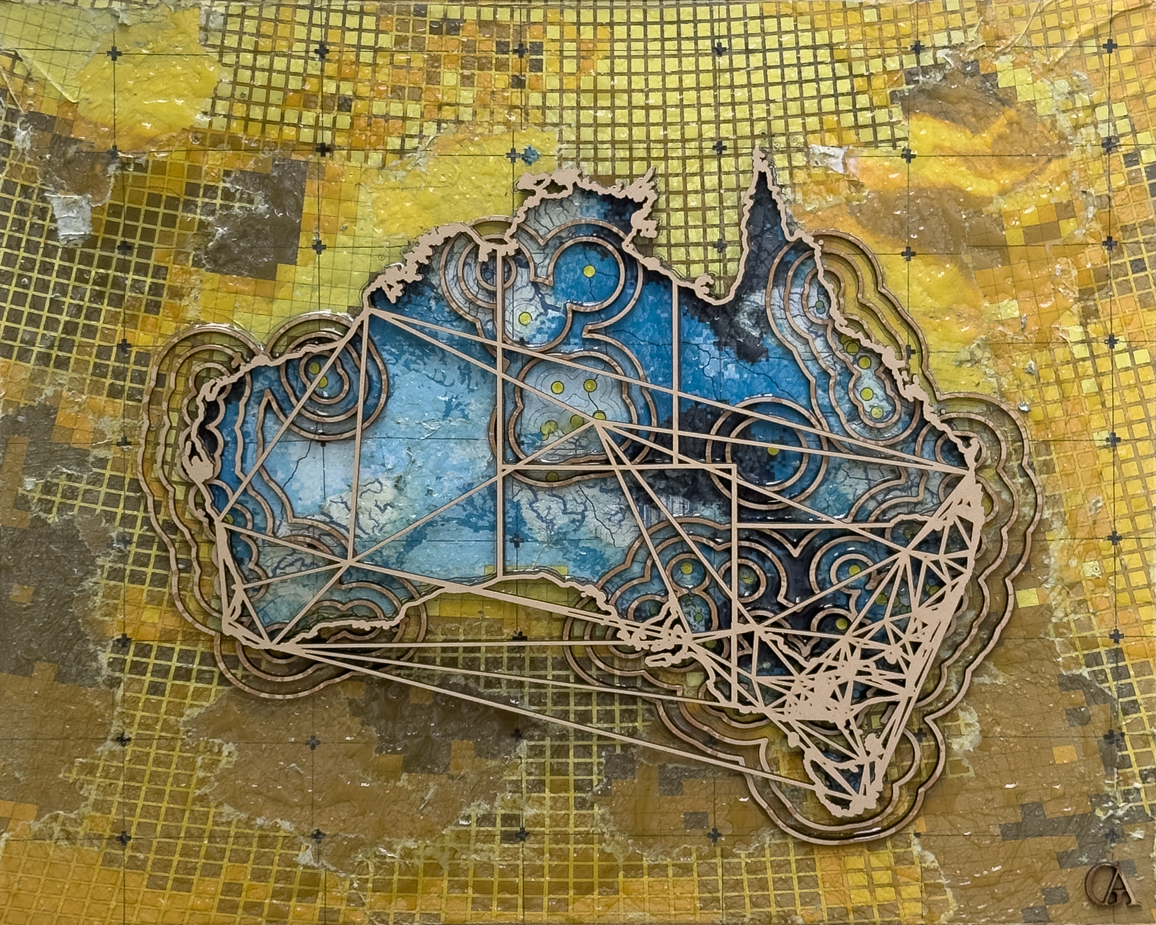
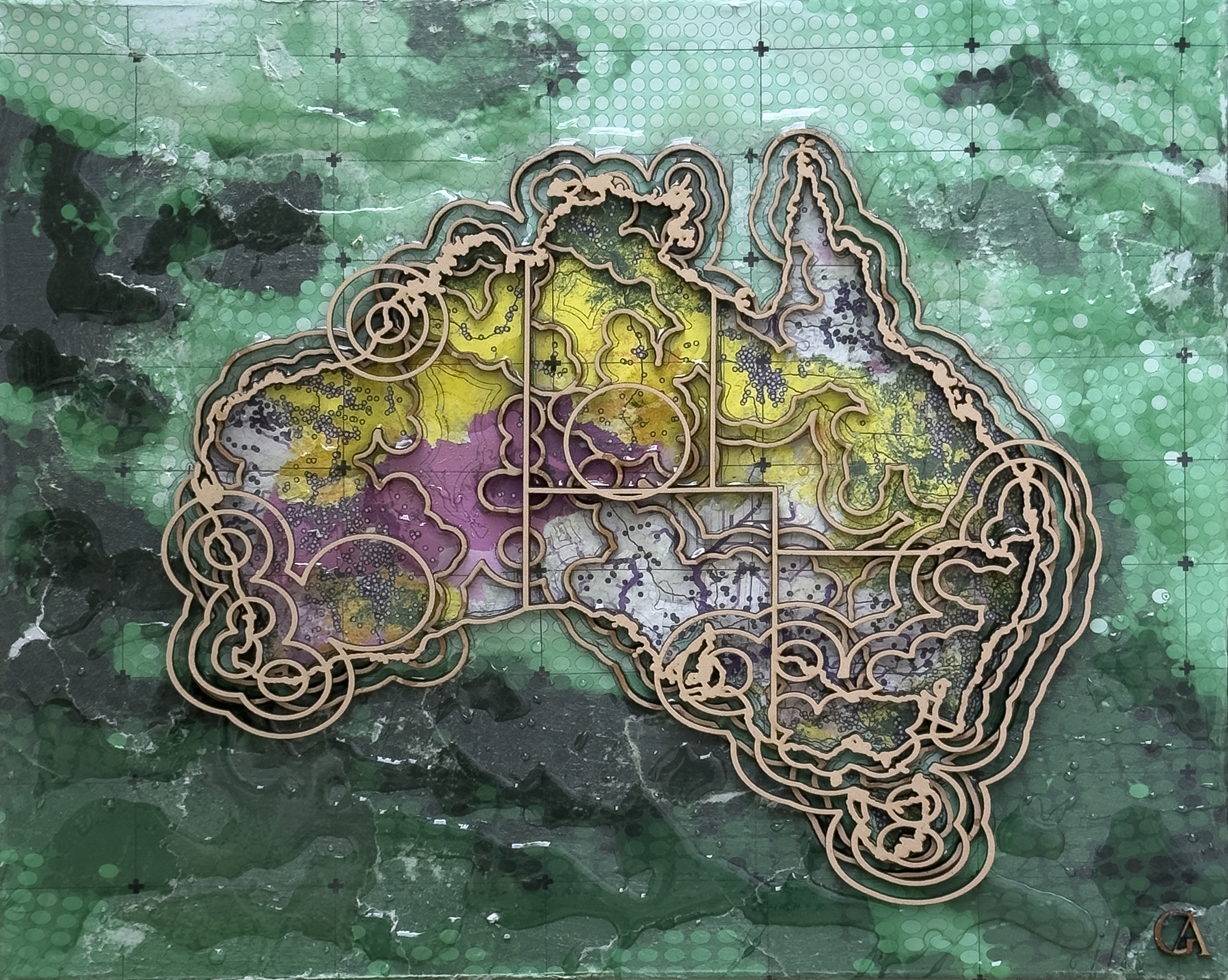
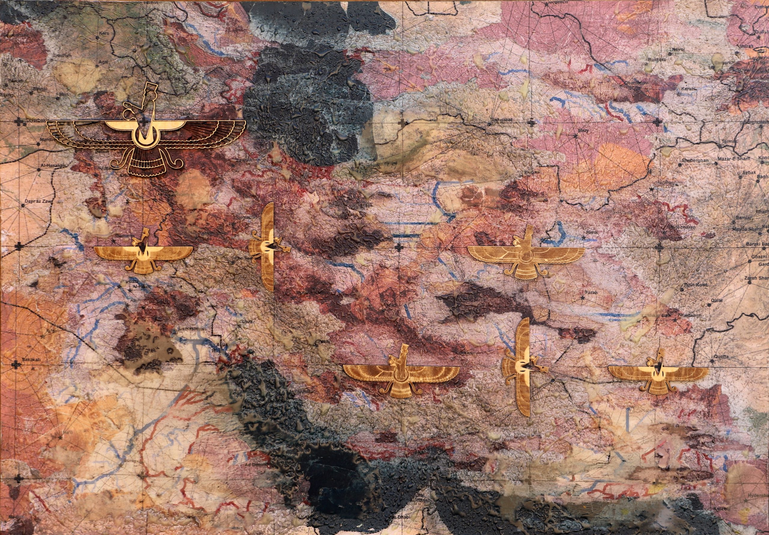
From geodesign and spatial layers to contemporary art. GeoArt explores the relationship between landscape, data and material—transforming geographic information into something we can see, feel and live with.
GeoArt begins with geography—but it does not end with a map. Spatial analysis, design processes and cartographic layers are transformed through abstraction, composition and material experimentation.
The result is an emotional interface with landscape: an artwork that invites people to connect with a place through colour, texture, pattern and form.
The illustrations are design placeholders. Replace them with photographs of your actual GeoArt works before publishing.
THE PRACTICE
From geodesign to GeoArt.
01 / DISCOVER
Geography
A landscape, a coastline, a neighbourhood or a place with personal meaning. Every artwork begins with spatial context.
02 / INTERPRET
Layering
Spatial information and design processes become compositions of patterns, colours, contours and relationships.
03 / MATERIALISE
Art
Digital geography moves into the physical world through prints, layered surfaces, experimental materials and wearable forms.
PERSONAL COMMISSIONS
Every place holds a story.
Choose a place that matters to you. Draw your area of interest on an interactive map, share your preferences, and commission a unique artistic interpretation of its geography.
GeoArt by Ata Tara sits at the intersection of landscape, spatial thinking and contemporary art. Drawing on a background in landscape architecture, visual planning and geodesign, the practice uses mapping as a language for exploring the relationships between people and place.